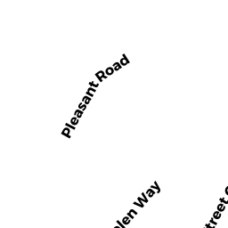
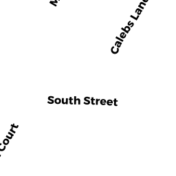
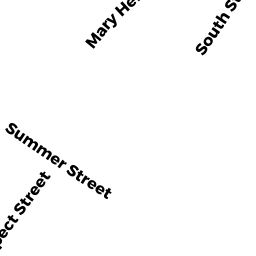
11 SOUTH ST
Owner Information
LANE KENNETH S
11 SOUTH ST
ROCKPORT, MA 1966


Property Details
11 SOUTH ST is classified as a Multiple Houses on one parcel (Colonial).
The primary structure on this property was built in 1900. There are 3,327ft2 of built area within this property. There is 1,727ft2 of residential/living space within this property. This property is listed as having 6 rooms.
11 SOUTH ST is valued at $984,600. The land is valued at $302,700 and the structures are valued at $679,200. There is an additional valuation of $2,700 on this property.
This property is in Zone R3. Confirm with local Zoning Board authorities to ensure there are no overlays or other easements on this property.
The most recent deed for 11 SOUTH ST is recorded at the local registrar in Book 6355, Page 247. 11 SOUTH ST was last sold on Thursday, June 2, 1977 for $25,000.
Assessment data from fiscal year 2021.
Flood Data
According to the FEMA National Flood Hazard Layer, this property does not appear to be in a flood zone. It may also be in an area not yet reviewed. Nonetheless, confirm this information prior to taking any action.
To view the flood hazards around this property, create a FEMA "Firmette" Map of the area around 11 SOUTH ST.
Broadband Internet Providers
| Provider | Type | Bandwidth (mbps) | |
|---|---|---|---|
| Comcast | Cable | 1000 | 35 |
| Viasat Inc | Satellite | 100 | 3 |
| VSAT Systems, LLC. | Satellite | 2 | 1 |
| HughesNet | Satellite | 25 | 3 |
| GCI Communication Corp. | Satellite | 0 | 0 |
| Verizon New England Inc. | DSL | 15 | 1 |
Broadband service provider data from December 2020.
Adjacent Properties
- 9 SOUTH ST
Single Family Residential owned by OBER CARLAINE R - 13 SOUTH ST
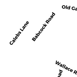
Single Family Residential owned by BARNES KENNETH J - 3 CALEBS LN
Single Family Residential owned by APARO JOSEPH S - 1 CALEBS LN
Single Family Residential owned by ADONIOU XENIA A - 7-7 A CALEBS LANE
Other, Open Space owned by None - 7A CALEBS LN
Condominium owned by MCGRATH STEPHEN - 7B CALEBS LN
Condominium owned by GAIGE RICHARD MICHAEL TRS - 7C CALEBS LN
Condominium owned by BLC RE HOLDINGS LLC - 7R SOUTH ST
Condominium owned by SCATTERDAY LLC - 7-7 SOUTH ST
Other, Open Space owned by None - 7 SOUTH ST
Inn/Condo owned by HANSEN DEBORAH A & N BENN - 7-7 A CALEBS LANE
Other, Open Space owned by None - 5 CALEBS LN
Single Family Residential owned by JENKINSON DAVID M